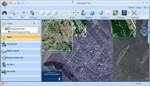
VantagePoint software is a unique application that allows you to manage your Magellan outdoor GPS experience.
Manage All Your Maps: View various maps, including outdoor and marine maps. VantagePoint software supports both Magellan and Magellan Certified maps, such as TOPO! Maps and SuperQuads from National Geographic , as well as other great maps like Topo USA (powered by AccuTerra), SnowRanger, and StoneMaps. Click here to check out all the complete list of available maps.
Go Geocaching: Easily locate points of interest and content you create on the map with basic and advanced search options. View locations by category or distance from any point using coordinates. New features include support of Geocaching.com Pocket Queries and new Geocaching features, attributes and additional waypoints. The "Geocache Details" window and "View all Details" window are new.
3D View: See all your topographic maps in 2D and 3D on your PC. Zoom in and out, rotate the map, and scroll with your mouse to "fly through" the terrain.
Main features:
- Support of the eXplorist GC unit.
- Support of Geocaching.com Pocket Queries.
- Support of new Geocaching features - attributes and additional waypoints.
- New "Geocache Details" window.
- Improved design for the "View All Details" window for Geocaches.
- Support of the tree structure in My Journal.
- Support of new waypoint icons and categories.
- Importing and Exporting of LOC file are used for waypoints instead of Geocaches.
- Ability to publish new Geocache and Geocache logs

Visualizes your tracks on Google Maps showing coordinates like latitude.
Convert route and track file formats to and from OziExplorers own file formats.


Comments (2)